Last weekend I walked all the way to the South Pole.
Not that South Pole, but the southernmost point of New York City limits (which also happens to be the southernmost point of New York State). I’m not speaking metaphorically. At Ward’s Point Beach on Staten Island, there is actually a pole waiting for those who choose to make the trek.
Hello, I am Alex Wolfe and this is another edition of Pedestrian: a newsletter for people who like to walk. Thanks to Fiona and Max for making this week’s edition possible. If you’d like to support this work, please consider joining the Pedestrian patreon.
Having learned of the pole’s existence days ago, I decided it was a good excuse to walk the entire length of Staten Island. Not to mention, I was long overdue for a good walk in New York’s “forgotten borough.” I am ashamed to admit, after six years of calling this place home, I’d never stepped foot outside of St. George’s Terminal where the Staten Island Ferry dumps passengers arriving from Manhattan. Like most, I chose to ride the ferry not to visit Staten Island, but for its spectacular views of the Lower Manhattan skyline, Ellis Island, and the Statue of Liberty, only to wait 30 minutes for the next ferry and return to Manhattan.
It’s not easy getting to Staten Island. While it is serviced by the Staten Island Railway, it has no direct connection to the New York City Subway system. For those who drive, the Verrazzano Bridge in Bay Ridge serves as the only link within the State of New York. Staten Island is physically closer to New Jersey than any other part of New York City (to put distance in perspective: a ride on the ferry is 5.2 miles through the New York Harbor).
The least populated of all boroughs at 494,747 residents according to the 2020 Census (roughly the same population of Fresno, CA), it is third largest in terms of land area. Previously home to the Fresh Kills Landfill (one of the largest landfills in human history), it boasts 170 parks on 12,000 acres of protected park land, thus giving Staten Island the title of “The Greenest Borough.”
The morning of my walk, I checked my phone and it predicted snow, yet I contested the information. I could see nothing but crystal clear blue skies from my apartment window. However, thick, gray clouds greeted me shortly after arriving at St. George’s Terminal.
Of all days, why did I choose to walk today?
I could have beat myself up, but instead recalled a simple mantra developed while walking to Philadelphia in unfavorable weather last summer: what happens on the walk, happens on the walk.
According to my map, it would be easiest to traverse the entire island if I loosely hugged the East Shore and walked parallel to the water. The island is roughly 13.9 miles long, but I reckoned it would end up being a 15 or 16 mile journey given my penchant for zig-zagging through neighborhoods.
I started down Bay Street and took a right on Broad Street. This area, known as Stapleton Heights, is part of a collection of neighborhoods called the North Shore, which is bound by the Staten Island Expressway to the south and considered the oldest and most densely populated area of the entire island. Visually, the area is distinctly its own, although it could be compared to parts of the Bronx. Staten Island as a whole, however, has a much more suburban look and feel than the rest of the city.
Continuing down Broad Street, I turned onto Targee Street, which eventually turned into Amboy Road. There I met the train tracks of the Staten Island Railway. Like most walks, I would move parallel to the tracks throughout most of the day. At moments I would deviate with hopes of discovering more scenic routes, but like a taut rubber band, would be pulled back to the sidewalks I previously abandoned after running into, for example, four lanes of fast moving traffic on Hylan Boulevard.
I questioned whether I’d chosen the right path to navigate the length of the island. I’ll admit, I did very little research prior to embarking on this journey, which led me to believe I was missing out on places of interest. One can spend their entire life questioning whether they made the right decision, but at a certain point you must accept the circumstances and go from there. In this case, I was fortunate. Staten Island wasn’t going anywhere, anytime soon, which meant many more walks were in order if so desired.
Hi, you’re being recorded.
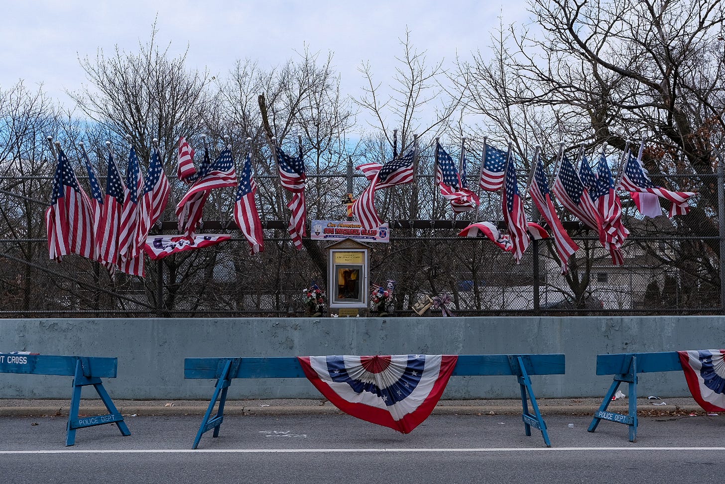
My presence from the sidewalk activated an automated voice which projected from a speaker attached to the front door of a single family home. This wasn’t the first encounter with an automated voice since departing from St. George’s Terminal. Statistically considered the safest borough, it is clear residents of Staten Island are serious about home security, law enforcement, and keeping their communities safe. American flags hung from poles attached to sycamore trees lining both sides of the street. It’s likely the most American Flags I've seen since the months following the fall of the Twin Towers. While still within New York City limits, I could have been in Rahway, New Jersey had I not known any better.
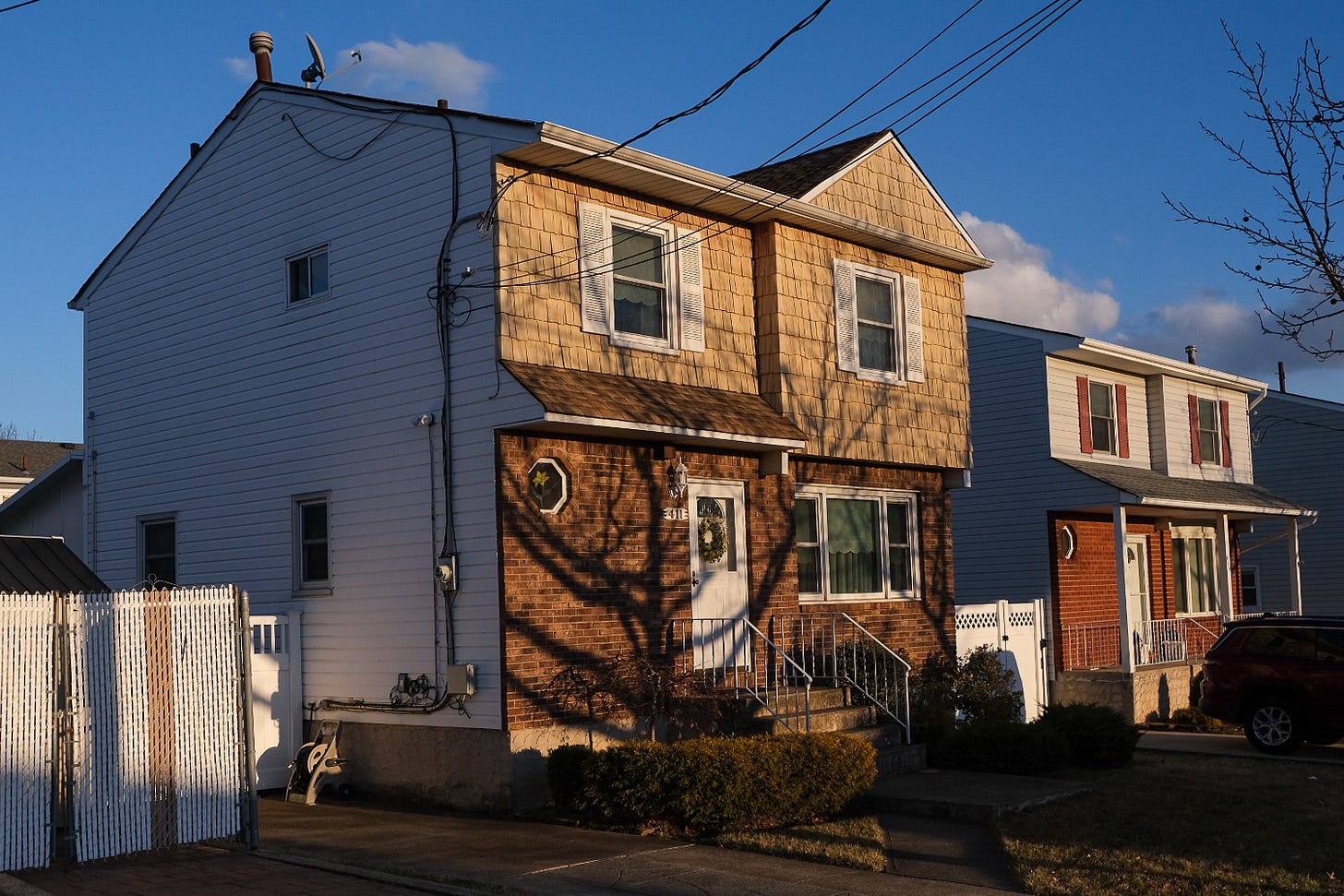
The sun emerged shortly after I arrived in the neighborhood of New Dorp. My spirits rose as I put my camera to my face. I sang to myself while taking photos and watched as the shadows grew and covered the width of the streets like a de Chirico painting. Convinced I’d outsmarted the forecast, my good fortune lasted no longer than twenty minutes. I’d soon become another victim of a fool’s spring.
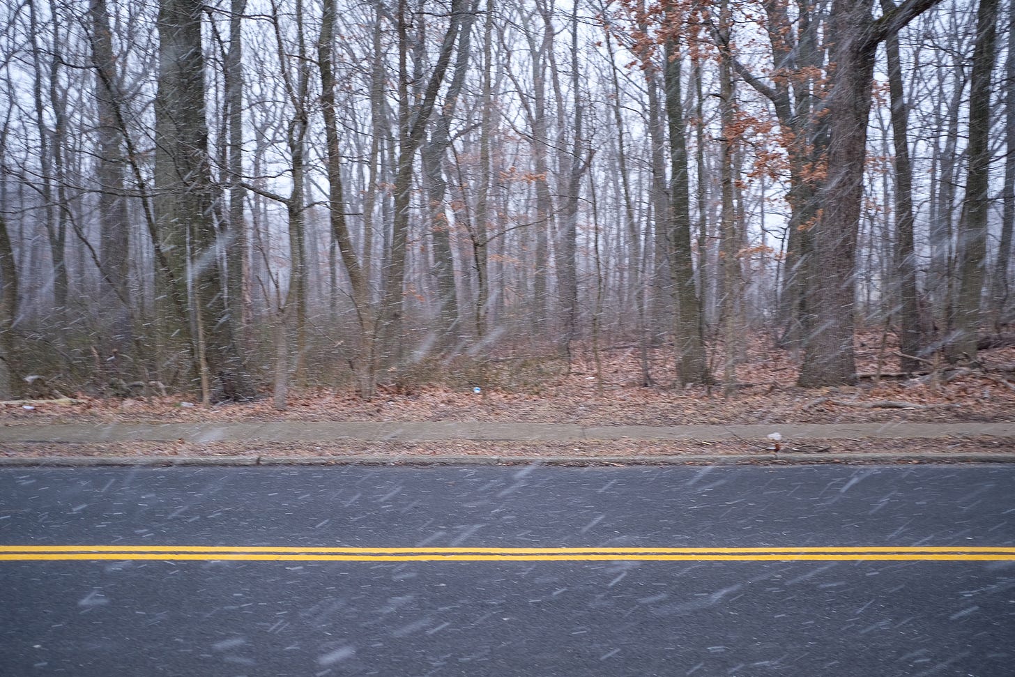
It was either the tenth or eleventh mile of my journey when the wind picked up and a heavy snow began to fall. While I didn’t know it until returning home later that evening, I was walking through the beginnings of a squall, which was only growing stronger and stronger in intensity. I pulled my zipper to my chin and contemplated calling it quits.
I wasn’t feeling particularly engaged with this walk across Staten Island. Chalk it up to poor walking conditions or thoughts of those who voiced strong opinions stating this place was unworthy of a visit. I’m forever reluctant to write these places off, because it is these places I’m most attracted to. You see, these places – the ones deemed unworthy – have the greatest potential for beauty in that we often find it when we aren’t expecting it. Oftentimes they’re just misunderstood and frankly, I wanted to be proven wrong about this place.
Instead of finding the nearest subway station, I chose to continue. Instead of deciding I’d seen all there was to see, I contemplated all the possibilities waiting for me down the road. I certainly wasn’t expecting to walk through a snowstorm today – perhaps a Pedestrian first. What else was waiting to be seen as I walked closer and closer to the South Pole?
The snow subsided shortly before reaching the main drag of a neighborhood called Pleasant Plains. I continued to follow Amboy Road, which runs adjacent to the North Mount Loretto State Park, 74 acres of mixed hardwood forests and wetland habitats, before leading to Tottenville – the southernmost settlement in all of New York City. A man greeted me as I approached Main Street.
Hey brother, care to spare some change? God bless you.
He had an infectious smile and eyes that projected from his tan, wrinkled face like a pair of polished diamonds. While I didn’t have any change to spare, he had my attention. I tried to strike up a conversation, but any attempts to communicate were drowned out by an irregular and intense wind that persisted since walking through the squall. While he could not hear me, he continued to smile. He mouthed the words thanks and everything, but I don't think it really mattered to him. He was content, perhaps waiting for warmer weather to arrive.
The final stretch of my journey took place after reaching the historic Conference House, where an unsuccessful attempt to negotiated the end to the Revolutionary War took place in 1776 (it is also the namesake of the park containing Ward’s Point Beach and, of course, the South Pole). Once entering the park, you must follow a dirt trail that leads you through a wooded area.
As I walked, the sun peeked from behind the trunks of trees only to hide once again. I waited for the silhouette of a figure to emerge, but it was apparent that I was alone. I met a fork at the trail and was greeted by a giant figure etched into the dirt beneath my feet, which was likely the work of young kids living in the adjacent neighborhood.
Had I not known of its existence prior to leaving for this journey, I would have easily mistaken the South Pole for some kind of mysterious municipal fixture. I approached just as the sun was beginning to set. Standing no more than six or seven feet tall, it was surrounded by bags of trash and debris – a friendly reminder that I was still within New York City limits. In the distance, I could see Perth Amboy, New Jersey and the Great Beds Lighthouse (named for the oyster beds on which it stands).
After 18.5 miles of walking (a few more than anticipated), I’d traversed the entire length of Staten Island and reached the South Pole. My work was done. Any doubts I held regarding whether I chosen the correct path dissipated in favor of looking out into the vast beauty of the Raritan Bay. Rarely do things go as expected, and I suppose a long walk serves to show us time and time again. I couldn’t have predicted what I was going to experience today, but the pole itself made the uncertainty all worthwhile.
Thanks for reading,
–Alex
Brooklyn, NY
SUPPORT THIS NEWSLETTER
If you’ve appreciated reading Pedestrian in the past, enjoy it presently, and feel excited about upcoming projects, please consider supporting this project for as little as $5 a month. Thanks :)
As always, this is Pedestrian, a newsletter telling stories about the people, routines, and connections we make as a result of moving throughout one’s everyday surroundings.








Did you see (or hear!) the peacocks roaming the grounds of conference house? I love your attitude toward S. I. Reminds me of how I feel walking the towns here near Jersey City. surprises await if you’re walking